/hex-terrain · tabletop
Hex tiles: wilderness, coast and settled land in three styles
Make your ownHex terrain tiles
Describe yours. We'll remake the whole pack your way.
More like this
the whole catalog →

every sample — three subjects, three styles ↓
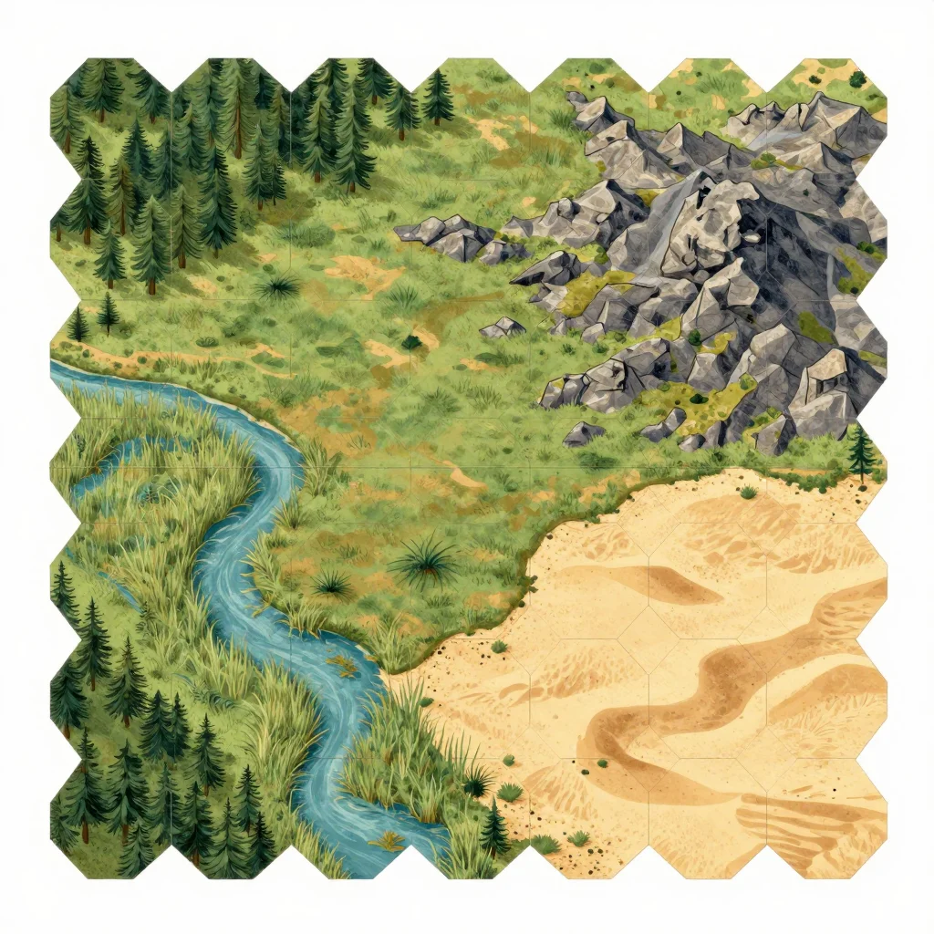
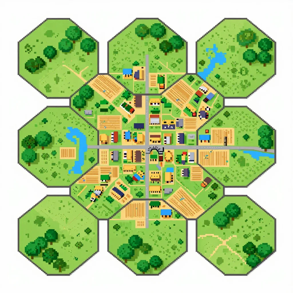
The hex a group prints, cuts and lays down to build the overland map. These nine sheets cover three terrains — wilderness, coast, settled farmland — each hex running its terrain to all six edges so any two tiles butt together. Hand-painted, flat vector and sixteen-bit pixel finishes. Print, cut and start the hex crawl.
- print-and-cut tiles for a hex-crawl campaign
- a starter set for a homebrew overland map
- reference art for a virtual tabletop hex grid
- a prop for a sandbox exploration session
Frequently asked questions
- Do the hex edges match up between tiles?
- Yes — every hex is drawn with its terrain running out to all six edges, so any two tiles from the set tile together.
- What size does each hex print at?
- Tiles are laid out on a standard sheet with a cutting margin, sized to a common hex-crawl scale.
- Can I get a different terrain?
- Yes — the direction field redraws the sheet with another biome, such as a snow and ice set.
About toile
This page is a showcase and a starting point: nine samples already rendered, three readings of the pack crossed with three styles, each shown at the size and ratio it was made for. Take any of them further on the wall with a few words, or ask for all nine again under your own direction; a sign-in keeps what you make, and it is free while Toile is new. The recipe behind each sample — the subject, the style, the palette, the framing — travels with the image rather than staying private to the render: it is in the alt text of every sample and in the page's own structured data, so a search engine reads the same handles a person would.