/map-prints · wall-art
Vintage map prints: coastline, city plan and mountains
Make your ownVintage map prints
Describe yours. We'll remake the whole pack your way.
More like this
the whole catalog →
every sample — three subjects, three styles ↓
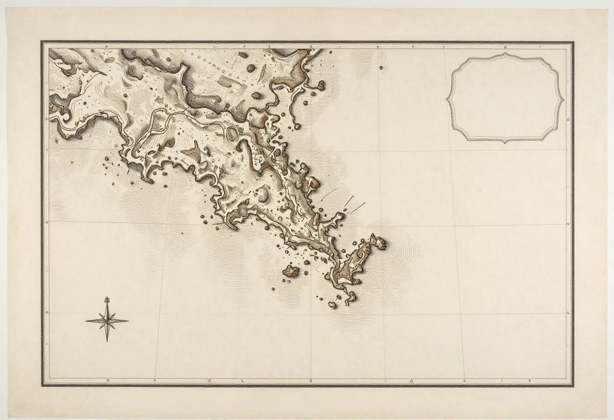
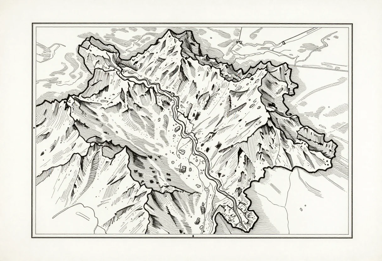
The old chart as wall art: a coastline with hatched shallows and a compass rose, a city plan in fine engraved streets, a mountain region with hachured relief. These nine cross those three subjects with a classic engraved-sepia finish, a technical blueprint style and a clean black-ink treatment — the study-wall map, no legible place names, a cartouche left decorative.
- a study or home-office wall
- a boat cabin or coastal home
- a gift for a traveler or sailor
- a set of two for a hallway
Frequently asked questions
- Does the map show real, legible place names?
- No — place names are kept illegible or decorative by design, so the map reads as art rather than a navigational chart.
- What size do these print at?
- Each map is drawn at A3 proportions with an even margin, so it prints clean at A3 or scales to A4.
- Can I ask for a different subject, like a river delta?
- Yes — the direction field takes that request and redraws it in the same three finishes.
About toile
This page is a showcase and a starting point: nine samples already rendered, three readings of the pack crossed with three styles, each shown at the size and ratio it was made for. Take any of them further on the wall with a few words, or ask for all nine again under your own direction; a sign-in keeps what you make, and it is free while Toile is new. The recipe behind each sample — the subject, the style, the palette, the framing — travels with the image rather than staying private to the render: it is in the alt text of every sample and in the page's own structured data, so a search engine reads the same handles a person would.