/map-worksheets · classroom
Map worksheet: world, country and rivers in three treatments
Make your ownMap worksheets
Describe yours. We'll remake the whole pack your way.
More like this
the whole catalog →
every sample — three subjects, three styles ↓
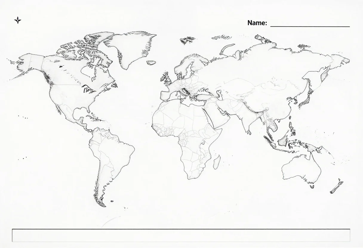
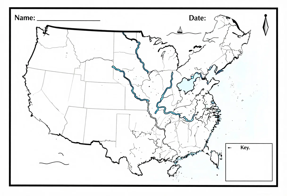
The outline map for labeling: the continents, a country with its regions faintly divided, a state with its rivers, always with a compass rose and a key box in the corner. These nine print across three scopes — world, country, rivers — in three treatments: blank line art, a quiz-ready version, and a wide coloring layout. Type a different region and the map redraws the same way.
- a geography labeling test
- a coloring-page geography lesson
- a classroom map reference
- a homework map assignment
Frequently asked questions
- Does the map include a compass rose and key?
- Yes — every treatment carries a compass rose and a key box in the corner, whether it's the blank, quiz or coloring version.
- Can I get a different region or country?
- Yes — type a different region, country or state and the map redraws in the same three treatments.
- What size does the worksheet print at?
- Landscape A4 proportions (1216 by 832), wide enough to label or color comfortably.
About toile
This page is a showcase and a starting point: nine samples already rendered, three readings of the pack crossed with three styles, each shown at the size and ratio it was made for. Take any of them further on the wall with a few words, or ask for all nine again under your own direction; a sign-in keeps what you make, and it is free while Toile is new. The recipe behind each sample — the subject, the style, the palette, the framing — travels with the image rather than staying private to the render: it is in the alt text of every sample and in the page's own structured data, so a search engine reads the same handles a person would.