/landforms-posters · classroom
Landforms posters: one landscape, tile grid and bodies of water in three styles
Make your ownLandforms
Describe yours. We'll remake the whole pack your way.
More like this
the whole catalog →
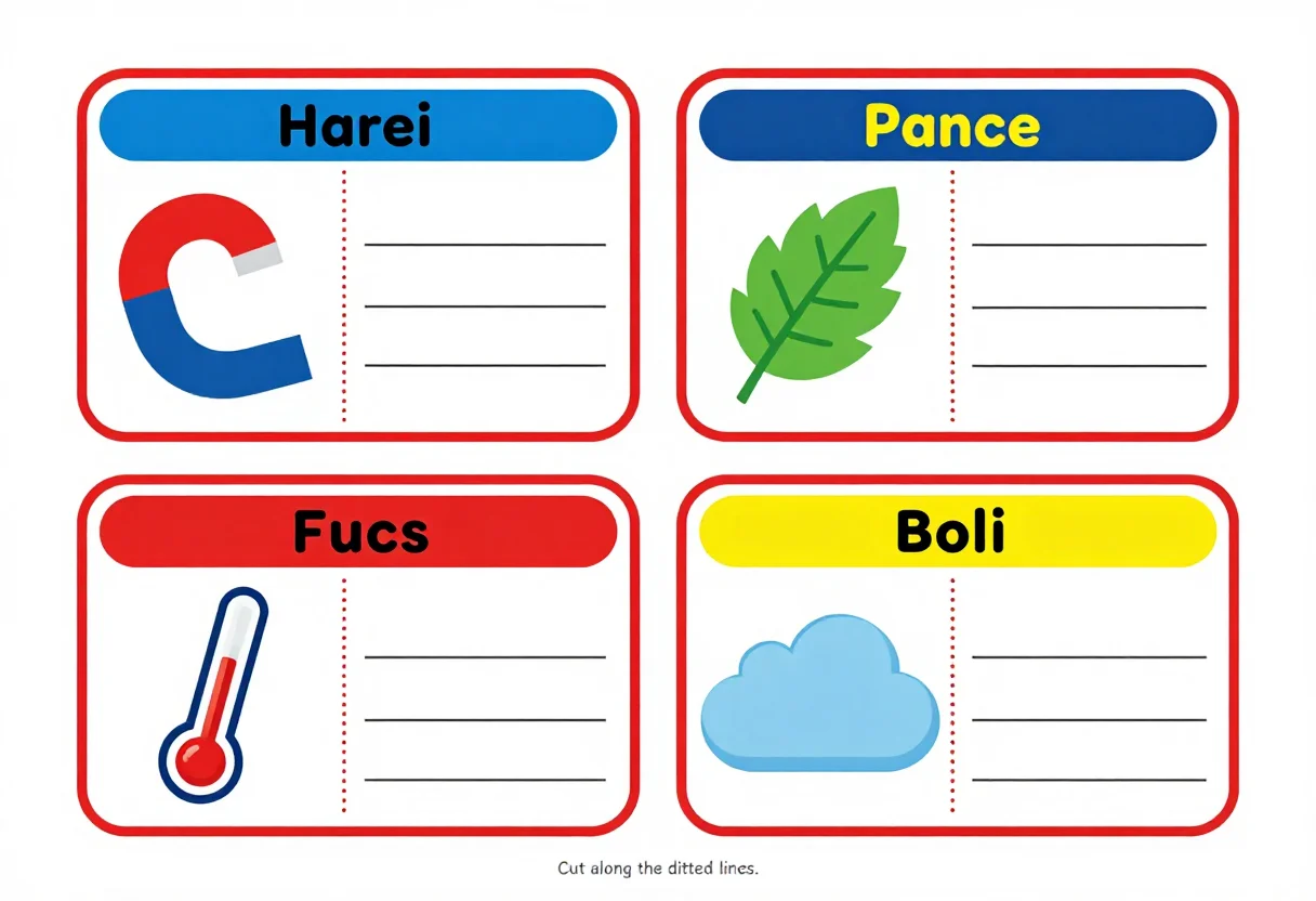
every sample — three subjects, three styles ↓
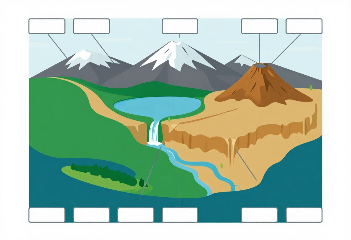
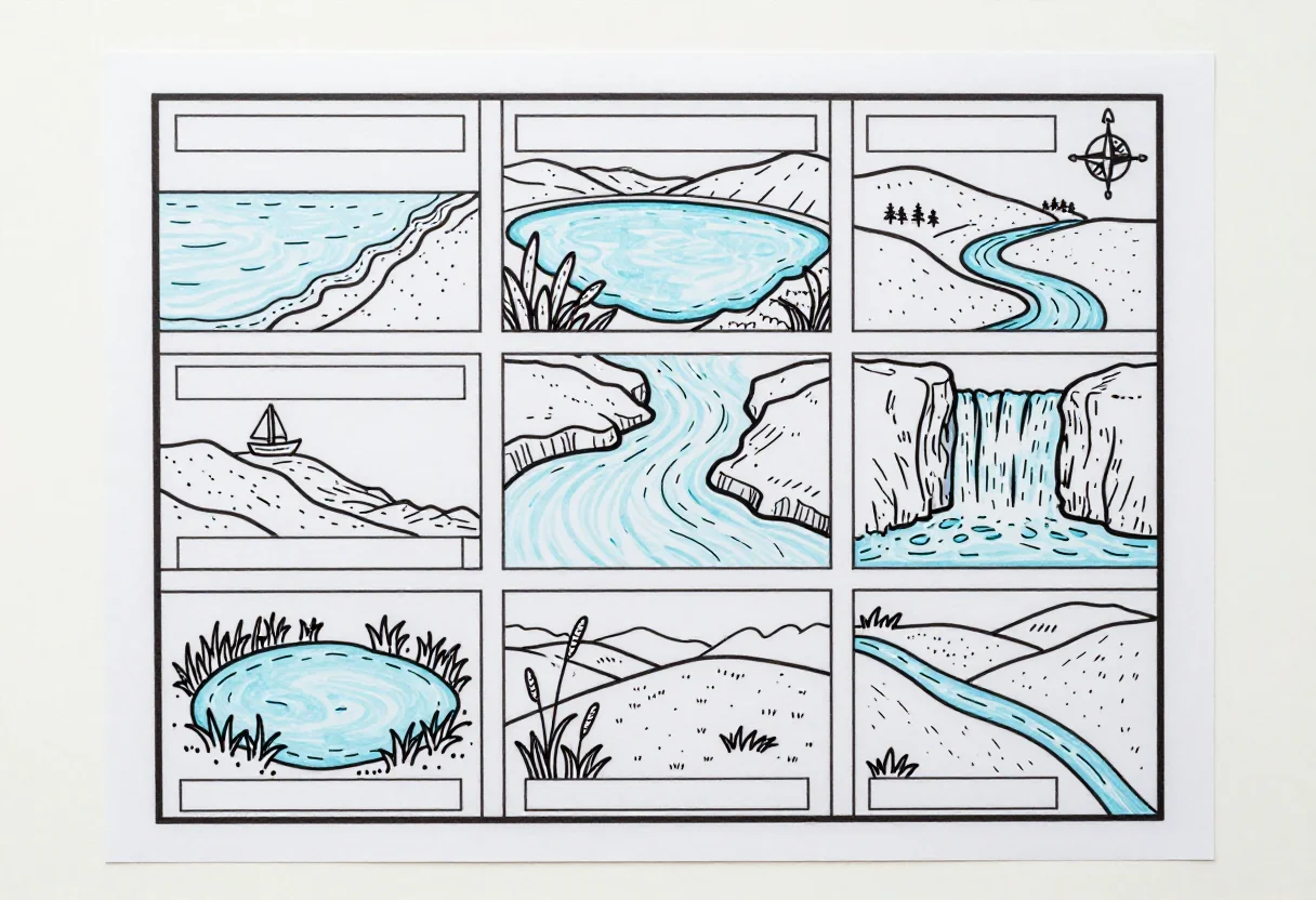
Mountain, valley, island, peninsula, delta: a single invented landscape that contains them all. These nine cover the whole scene with leader lines, a landform tile grid, and a bodies-of-water sheet, in bold flat, pastel and blackline. Ask for a twist — layers of the earth, a 3D model plan — and the same terrain vocabulary redraws.
- a geography classroom bulletin board
- a landforms labeling worksheet
- a bodies-of-water reference poster
- a homeschool earth science activity
Frequently asked questions
- What size do these posters print at?
- Each poster is drawn at landscape A4 proportions (1216 by 832) with a printing margin, ready to print or scale up for a wall.
- Are the landforms labeled?
- The label boxes are left blank, so a teacher or student fills in the term as part of the lesson.
- Can I get a version about layers of the earth?
- Yes — type a twist like layers of the earth and the same labeled-diagram format redraws around it.
- What's the difference between the three styles?
- Bold flat is saturated for a wall display, pastel is softer, and blackline is outline-only for labeling or low-ink printing.
About toile
This page is a showcase and a starting point: nine samples already rendered, three readings of the pack crossed with three styles, each shown at the size and ratio it was made for. Take any of them further on the wall with a few words, or ask for all nine again under your own direction; a sign-in keeps what you make, and it is free while Toile is new. The recipe behind each sample — the subject, the style, the palette, the framing — travels with the image rather than staying private to the render: it is in the alt text of every sample and in the page's own structured data, so a search engine reads the same handles a person would.